Rally Site
Directions
Click on “details” for more information on this rally location
type
Rallies - click on year to go to the rally for that year.
Host – people responsible for finding the site

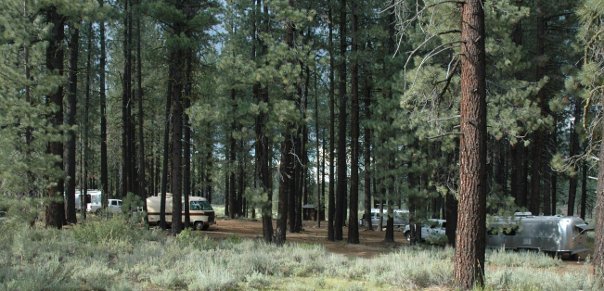
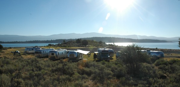
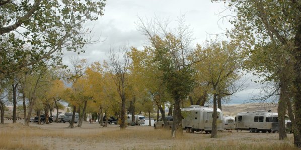
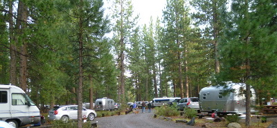
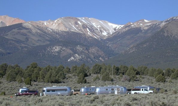
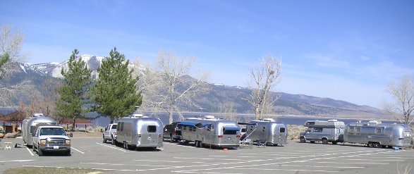
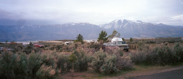
Boca
Rest 2009
Northwest of Reno about twenty miles on I80 towards Truckee. Take the Hershdale exit Follow the road past the dam and around the reservoir. The campground is right on the water
NFS
Bryan & Diane Leipper

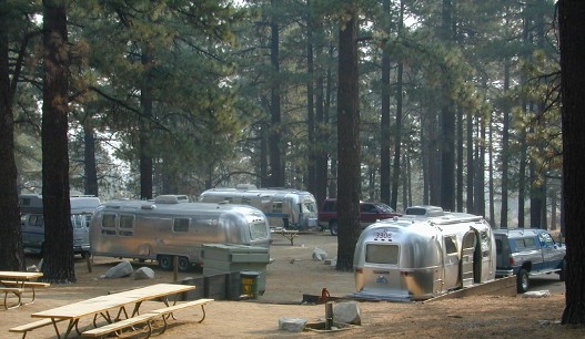
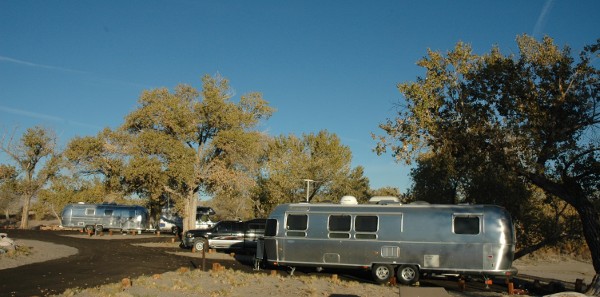
Boca
Springs 2004
Northwest of Reno about twenty miles on I80 towards Truckee. Take the Hershdale exit The road to Boca Springs Group campground will be on your right across from the Boca Rest campground.
NFS
Bryan Leipper

Churchill
County Fairgrounds – Cantaloupe Festival 2012
Churchill County Fairgrounds is located on Hwy 95 just South of Fallon
CNT
Jerry & Dyann Thornburg
Crocker
Campground 2010
Off of Highway 70 at Beckwourth, CA. At Beckwourth (coming from US 395 and Reno) turn right on Rt 177, the Beckwourth-Genesee Road. The campground is about ten miles up the road
NFS
Anita & Diane Leipper
Davis
Creek - Group area 2004
From Reno take Rt 395 south to Washoe Valley (approximately 8 miles from the Mt. Rose junction). Turn right on Old 395. Go about .04 miles to Davis Creek Rd. turn right. The Davis Creek group area is at the end of a short gravel road off the main campground road.
REG
Diane Leipper
Davis
Creek main 2002
From Reno take Rt 395 south to Washoe Valley (approximately 8 miles from the Mt. Rose junction). Turn right on Old 395. Go about .04 miles to Davis Creek Rd. turn right.
REG
Diane Leipper
Dayton
State Park 2004
Dayton State Park is about 15 miles East of Carson City, NV just past the town of Dayton. It is located on the Carson River
NVSP
Bryan & Diane Leipper

Death
Valley Mesquite Campground 2009
Mesquite Springs Campground is at the North end of Death Valley near Scotties Castle.
NAT
Don & Gail Williams

Eagle
Lake - BLM 2008
North Eagle Campground is 30 miles north of Susanville on Highway 139 and a half-mile west on Lassen County Road A-1. There are 20 sites in a pine and juniper forest.
BLM
Bryan & Diane Leipper
Eagle
Lake - Rocky Point 2010
Eagle Lake Rocky Point East is 30 miles north of Susanville off Highway 139. Turn on Lassen County Road A-1. Travel approximately 5 miles. Turn south (left) on Lakeside drive in the Bucks Bay subdivision. Travel south to the Rocky Point access road
NFS
Anita Leipper
Ft
Churchill - main campground 2000
South on US 95 alternate towards Yerington. Fort Churchill is located along the Carson River, eight miles south of Silver Springs on US 95A. Turn right off of US 95A to main park and campground
NVSP
Bryan & Diane Leipper
Ft
Churchill – Orchard 2006
South on US 95 alternate towards Yerington. Fort Churchill is located along the Carson River, eight miles south of Silver Springs on US 95A. The Orchard is just past the turn off to the main park and right off of 95A
NVSP
Bryan & Diane Leipper
Ft
Churchill –Scout Camp 2011
South on US 95 alternate towards Yerington. Fort Churchill is located along the Carson River, eight miles south of Silver Springs on US 95A. Scout Camp is across the river on the left of US 95A
NVSP
Bryan Leipper & Gene Baleme

Ft
Sage 2007
Ft Sage is about 45 miles north of Reno off US 395. Turn on Laver Crossing Rd just past Doyle. CA
BLM
Bryan & Anita Leipper
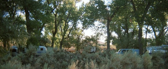
Glass
Creek 2015
Driving South on Us 395, Glass Creek is south of june lakes and 4 miles south of the turn off to Obsidian Dome. To get to Glass Creek turn west from US 395 on Glass Creek Road.
NFS
Rick Laborde
Green
Creek 2013
Green Creek Road is about 5 miles South of Bridgeport, CA on U.S. 395. The campgrounds (and rally site are about 7.5 miles from the turn off. Check Wheels report for details. The SNU rally site will be in the dispersed area BEFORE the U.S. Forest Service Campground at the end of the road.
NFS
Wheels & Doris Wheeler

Hat
Creek 2006
Hat Creek (Lassen Nat'l Forest) Group area #2 on Hwy 89/44 about 50 miles northwest of Susanville, CA
NFS
Dale & Virginia Leipper

Hickison
Petroglyphs 2011
Hickison Petroglyphs campground is located 20 miles east of Austin just off US 50 at Hickison Summit . The turnoff is well marked and easily spotted just around a curve in the road coming down from the summit.
BLM
Anita Leipper

Hope
Valley site 1 2008
From Reno, take 395 south to SR88. Follow SR88 through Woodfords into Hope Valley. Continue past the Meyers turnoff. Go about 3 or 4 miles to the Blue Lakes road. This is right after the turn off of Hwy 88
NFS
Melissa Wong & Roman Kremenski

Hope
Valley site 2 2008
This location is about 2 miles further down Blue Lakes Road. It is right on the west fork of the Carson River
NFS
Melissa Wong & Roman Kremenski
Hope
Valley site 3 2019
This location is about 6 miles further up Blue Lakes Road
NFS
Jerry & Dyann Thornburg
Kingston
- Douglas Place 2005
Kingston - off US 50 east, near Austin NV
PRI
Roy & Bonnie Douglas
Lahonton
Beach 7 dispersed 2010
Coming from Reno, Fernley, Carson City , or Fallon areas at the Silver Springs junction go south on US 95 alternate towards Yerington. A few miles out of Silver Springs turn left on the road to Lahontan. Follow the road to the entrance to Lahontan follow the road around the north west side of the reservoir to the end of the paved road.
NVSP
Leipper’s
Lahonton
Beach 7 structured campground 2012
Coming from Reno, Fernley, Carson City , or Fallon areas at the Silver Springs junction go south on US 95 alternate towards Yerington. A few miles out of Silver Springs turn left on the road to Lahontan. Follow the road to the entrance to Lahontan follow the road around the north west side of the reservoir to the end of the paved road.
NVSP
Bryan & Diane Leipper
Lahontan
- Fran’s Place 2005
off US 50 east near Silver Springs, NV
PRI
Fran Reid

Lassen
RV Park 2015
Lassen RV Park is located one mile off of Hwy. 299 and eight miles east of McArthur in the foothills among numerous trees. This is 175 miles North of Reno via Hwy 395.
COM
Randy & Vicki Grossmann

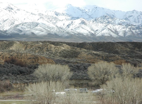
Mason
Valley 2009
Off of Miller Lane on the North side of Yerington. From Silver Springs follow Hwy 95 South to Miller Lane. Turn East on Miller Lane and continue to Lux Lane.. Follow Lux Lane about a half mile past the fish hatchery to the campground. The picture below is at the South entrance at the intersection of Lux Lane and Miller Lane.
NVW
Anita leipper
Obsidian
Dome 2008
Between June Lakes and Mammoth Lakes, CA. The campground is 2.7 miles off of US 395. Turn west off Hwy 395 right after the sign to Obsidan Dome.
NFS
Rick LaBorde

Petersen
Ranch 2009
Near MacArthur North of Susanville, CA. The Ranch is located off Pittville road.
PRI
Anita Leipper

Portola
- Western Pacific Railroad Museum 2008
On Hwy 70 about 70 miles North of Reno. The rally will be in the parking area of the Railroad museum near downtown Portola.
PUB
Anita & Diane Leipper
Prosser
Reservoir Family Campground 2015
Located on the west shore above Prosser Reservoir. From Truckee, CA take Highway 89 North approximately four miles north of I-80. Look for Prosser Recreation Area sign on the right. Take a right onto paved road and campground will be on the left in approximately 1.5 miles.
NFS
2015
Randy & Vicki Grossmann
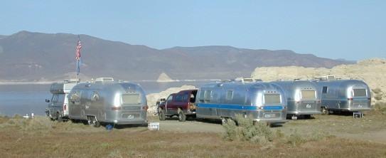
Pyramid
Lake 2004
Pyramid Lake is about 30 North of Sparks NV on highway 445. To reach the rally site turn right off off 445 at the boat ramp sign. Follow gravel road down to boat ramp area. Turn right (looks like parking area) drive through and around hill to the right.
IR
Bryan & Diane Leipper

Ramhorn
Springs 2007
From Susanville: Travel north on U. S. Highway 395 approximately 45 miles.Turn east (right) onto BLM Road 26000. Travel approximately 2.5 miles.
BLM
Anita Leipper
Rye
Patch Reservoir 2005
Rye Patch is located 22 miles north of Lovelock on Interstate 80. The rally will be held in the campground below the dam on the west side of the reservoir.
NVSP
Bryan & Diane Leipper
Silver
Springs - Air Show 2009
Off Hwy 50 about 40 miles East of Carson City, NV or about 10 miles west of the alt 95 and Hwy 50 junction at Silver Springs
PUB
Wheels Wheeler

South
Lake Tahoe - Campground by the Lake 2011
Driving Hwy 50 west from Carson City, Campground by the Lake is just west of downtown South Lake Tahoe. The address is 1150 Rufus Allen Blvd. Turn left (south) off Lake Tahoe Blvd (Hwy 50) and turn right (west) at the campground entrance. The SNU was in loop B
CNT
Randy & Vicki Grossmann
Sweetwater
Summit 2009
Off of highway 338 in Nevada, which comes out of Bridgeport as California highway182
NFS
Bryan & Diane Leipper, Gary Haskett
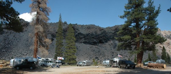
Twin
Lakes 2007
Take Rt 395 south to Bridgeport, CA. About 100 miles south of Reno. Turn right on Twin Lakes road. Go about 15 or 20 miles. Turn left on the road to the Twin Lakes campground. Cross the bridge and turn left to the Crags Campground.
NFS
Don & Mary Lou Damoth
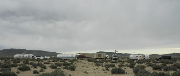
Unionville
2006
Off of I 80 about 60 miles East of Lovelock. Take exit149 (about 44 miles from Lovelock) towards Mill City/Unionville, go 0.1 mile. Turn right onto NV-400, go 16.4 miles. Turn right on road to Unionville, go 2.1 miles.
CNT
Diane Leipper, Jerry & Dyann Thornburg

Walker
River Resort 2006
From Reno, NV, take US 395 South 60 miles to Hwy 208. Turn East (left) on Hwy 208 and travel 20 miles to the town of Smith, NV. Go through Smith 2 miles and turn North (left) on Hudson Way. Travel 3 miles on Hudson Way to the resort.
COM
Jerry & Dyann Thornburg
Walker
River State Recreation Area 2019
Walker River SRA is about 90 miles south of Reno. Drive through Yerrington and on to Hwy 208 for several miles then turn left on East Walker Road. East Walker Road is gravel and has a lot of wash boarding. It is about 5 miles to the Walker River entrance.
NVSP
Diane Leipper, Jerry & Dyann Thornburg
Washoe
Lake – group area 2007
From Reno: Head south on US 395. At the South end of the lake take the Eastlake Blvd Exit. Head East to the park entrance. After going through the park entrance turn left on the road to the group area.
NVSP
Bryan & Diane Leipper
Washoe
Lake – main campground 2000
From Reno: Head south on US 395. At the South end of the lake take the Eastlake Blvd Exit. Head East to the park entrance. After going through the park entrance turn right to the main campground
NVSP
Leipper’s

Weed
Heights RV Park 2016
In the Township of Weed Heights just west of Yerington, NV off Hwy 95. The RV park is up the hill behind the old Anaconda mine pit.
COM
Anita & Diane Leipper